SERVICES
Agricultural Drone Mapping
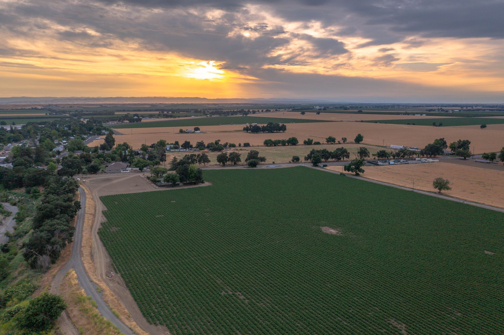
Transform your orchard management with our Agricultural Drone Mapping services. Using high-end drones and multispectral sensors, we capture high-resolution images of your orchards. These images are processed with specialized software, delivering precise tree counts, health scores, and insights into problem areas. After the drone flights, we set up the software, provide full data access, and deliver a custom report with actionable suggestions. This enables you to share insights with your team, optimizing crop health, improving yields, and simplifying inventories—saving you time and money.
Special Events
Drone photography and videography capture the grandeur of outdoor special events like weddings, concerts, and festivals. Drones provide breathtaking aerial views that traditional cameras can't match, offering dynamic shots that showcase the entire event and its surroundings. This footage adds a cinematic quality, creating stunning memories from a unique perspective, making your outdoor celebration truly unforgettable.
Real Estate
Real estate agents benefit from drone photos and videos to showcase listings uniquely. Drones offer aerial views that highlight a property's size, location, and surroundings, providing perspectives traditional photography cannot match. This dynamic content engages potential buyers, helping them understand the property's layout and features. Moreover, drone footage makes listings stand out, attracting more attention and assisting in quicker, higher-priced sales.
Aerial Photo + Video
Drone photography and videography showcase the splendor of California from an exhilarating aerial view. From the dramatic cliffs of Big Sur to the sun-drenched beaches of Malibu, drones have the ability to capture your beloved locations in a truly distinctive way. Picture an overhead image of a place steeped in precious memories—where you became engaged or marked significant milestones. These stunning visuals can be elegantly framed, allowing you to incorporate a slice of California’s allure into your home and to revisit those treasured moments every day.


ABOUT
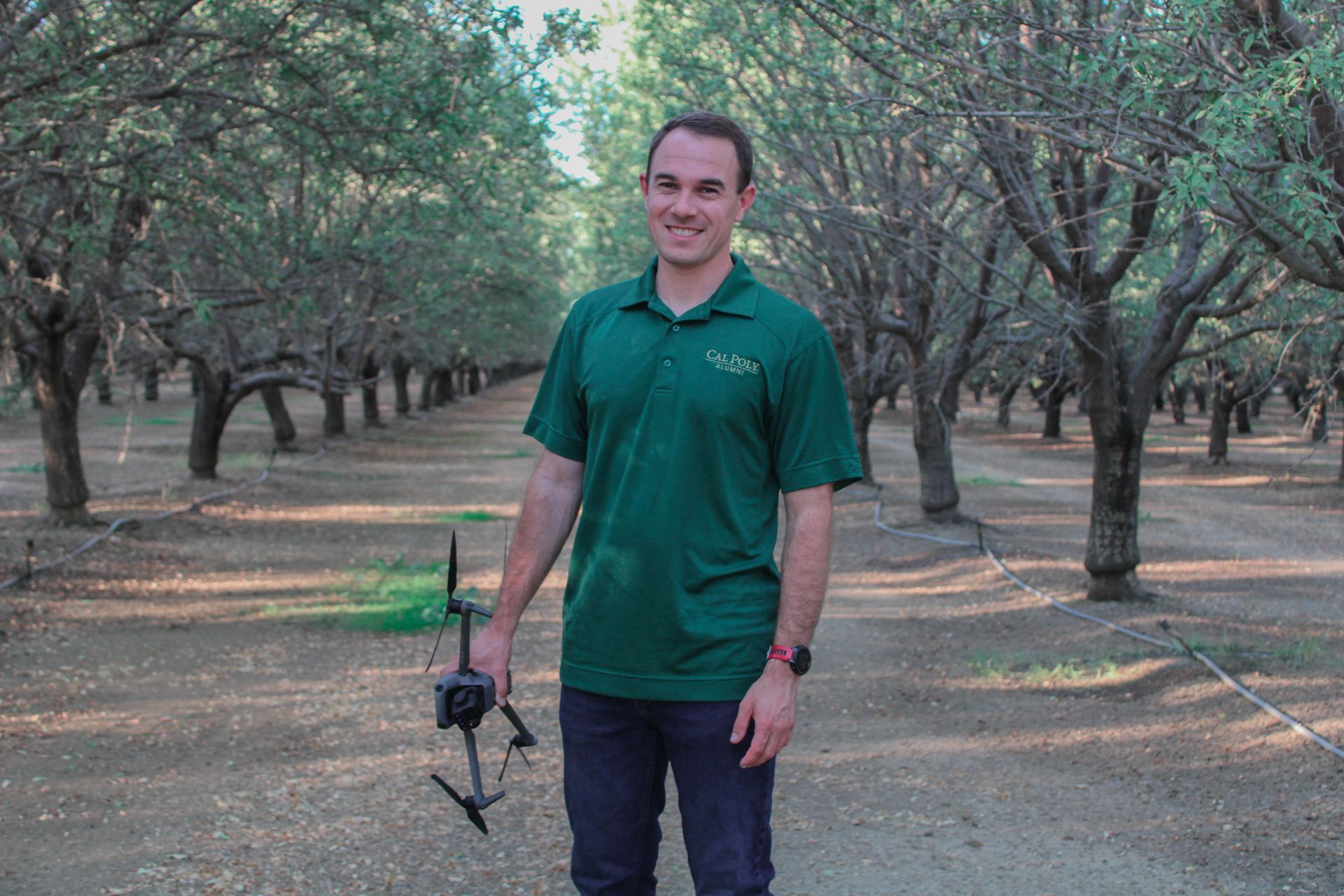
Jack Mast - Owner
Having been born and raised in Woodland, California, I take great pride in being the sixth generation of a farming family in Yolo County. My dedication to agriculture led me to Cal Poly San Luis Obispo, where I earned a degree in Agricultural Plant Science, concentrating on fruit and orchard science. During my time at Cal Poly, I also developed an interest in pest management, culminating in my acquisition of the DPR Pest Control Advisor license in 2017.
Upon graduation, I gained practical experience within my family’s pear and cherry farming business in the Sacramento Delta, where I honed my skills in various areas, from irrigation to pest scouting. In 2019, I joined Corteva Agriscience as their main drone pilot and Advanced Phenotyping lead, igniting a strong passion for leveraging technology to improve agricultural practices.
In 2024, I took the leap to merge my knowledge in drones, pest management, and orchard science by launching my own venture—Mast Aerial Services. I am eager to introduce innovative solutions to farmers, enabling them to enhance their operations and unlock the full potential of their crops.